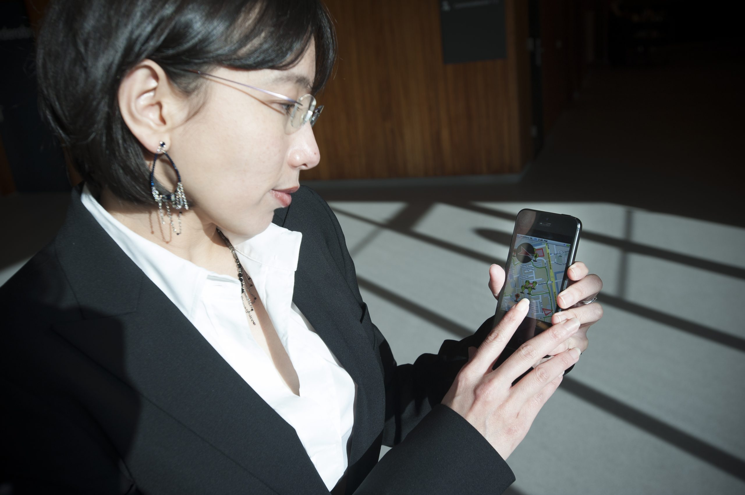
Evacuations can be managed better and more efficiently by equipping people in the area with navigation and communication devices, says PhD-student Lucy T. Gunawan. She studied crowd sourced disaster response.
Consider an earthquake, a busted dike, an industrial installation catching fire, or a derailed train leaking chemicals. People in the area will have to be evacuated as soon as possible, but the usual exits may be blocked, bridges may have collapsed and roads may be cut-off by fires. So, how do you get the people out safely?
“Bystanders and victims are often capable human beings who are able, to a large extent, to take care of themselves and help others during disaster responses”, said the World Health Organisation (WHO) in 1989. Dr. Lucy T. Gunawan (specialist in technical informatics) quotes the WHO in one of her propositions, since the idea of self-sufficient casualties, or walking wounded, is central to her new style of emergency evacuation. She developed prototypes of the software involved and tested her distributed participatory evacuation system against the traditional one that’s based on centralised coordination and has casualties being given a map and a telephone number to get in touch with the command centre.
In Gunawan’s model however, people in the disaster area that can still walk will use a navigation and communication application on their smartphone. In its simplest form, the GPS-based navigation only displays a pointer, showing the user the best way out of the area. The information can be complemented with distance, time to travel, or even a detailed map.
The way these devices should work has been very clearly illustrated by Gunawan in a poster on the use of the navigation device and an article on the collaboration model enabled by the devices.
The device has a second function as well. It enables users to report obstacles and dangers along the way, such as unstable buildings, fire blocked roads, broken bridges and victims. These reports then automatically emerge on the map of the information control centre, and on the devices of the other dwellers. The colour of the pinmarker defines its status (confirmed or not). Contrary to the traditional approach, the navigation aid is constantly updated by the people themselves. In the field test, the interactive map did not totally prevent people from entering dangerous areas, but the participants were going there less often compared to the paper-guided guinea pigs.
Gunawan concludes that her distributed participatory system performs superior in guiding people safely and helping them achieve better situational awareness, while lowering their workload compared to the traditional evacuation system. She suggests her system may replace or complement the commonly used centralized evacuation system.
→ Crowdsourced disaster Response for effective Mapping and Wayfinding, Lucy Trianawaty Gunawan, 4 February 2013, PhD supervisor Prof. Mark Neerinx, faculty of Electrical Engineering, Mathematics and Computer Science.


Comments are closed.